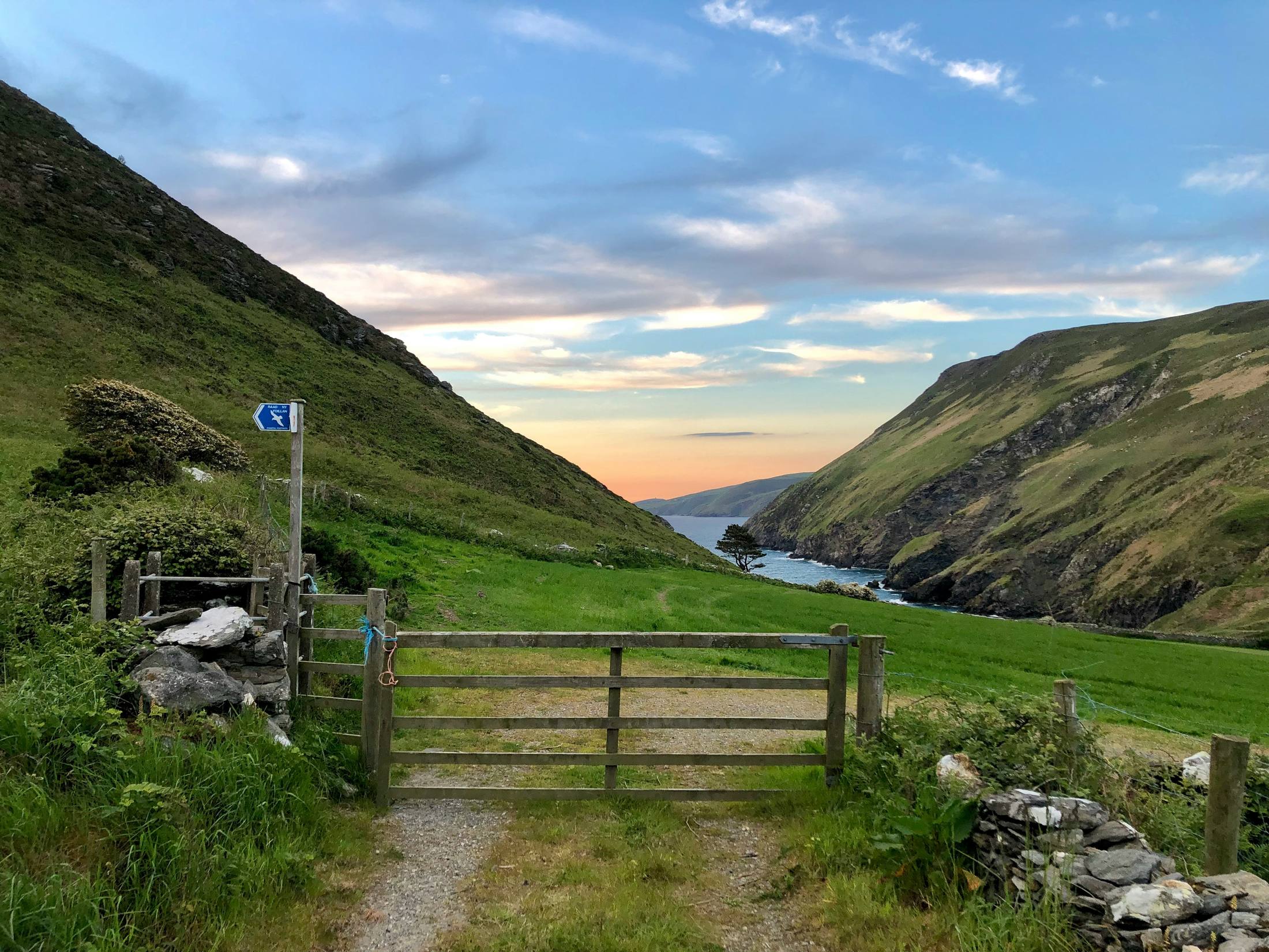
Group cycling on the Isle of Man
RD is the group-ride app for road riders on the island, one of three with GRVL and MNTN. We want every ride booked through it to carry its own cover, so landowners can open private tracks to riders without taking on the risk themselves.We need an insurer to
build that cover with us.
Farm tracks, plantation roads and estate land link up routes that the public network can't. Gravel and mountain riders especially are looking for it.
“Half the best gravel on the east coast is behind a gate. You can see the track from the road. You just can’t ride it.”
If a rider is hurt on their land, the claim may come to them and to their own farm or estate policy. They don't know who is on the land or when, and they have no way to set conditions and know they were agreed to.
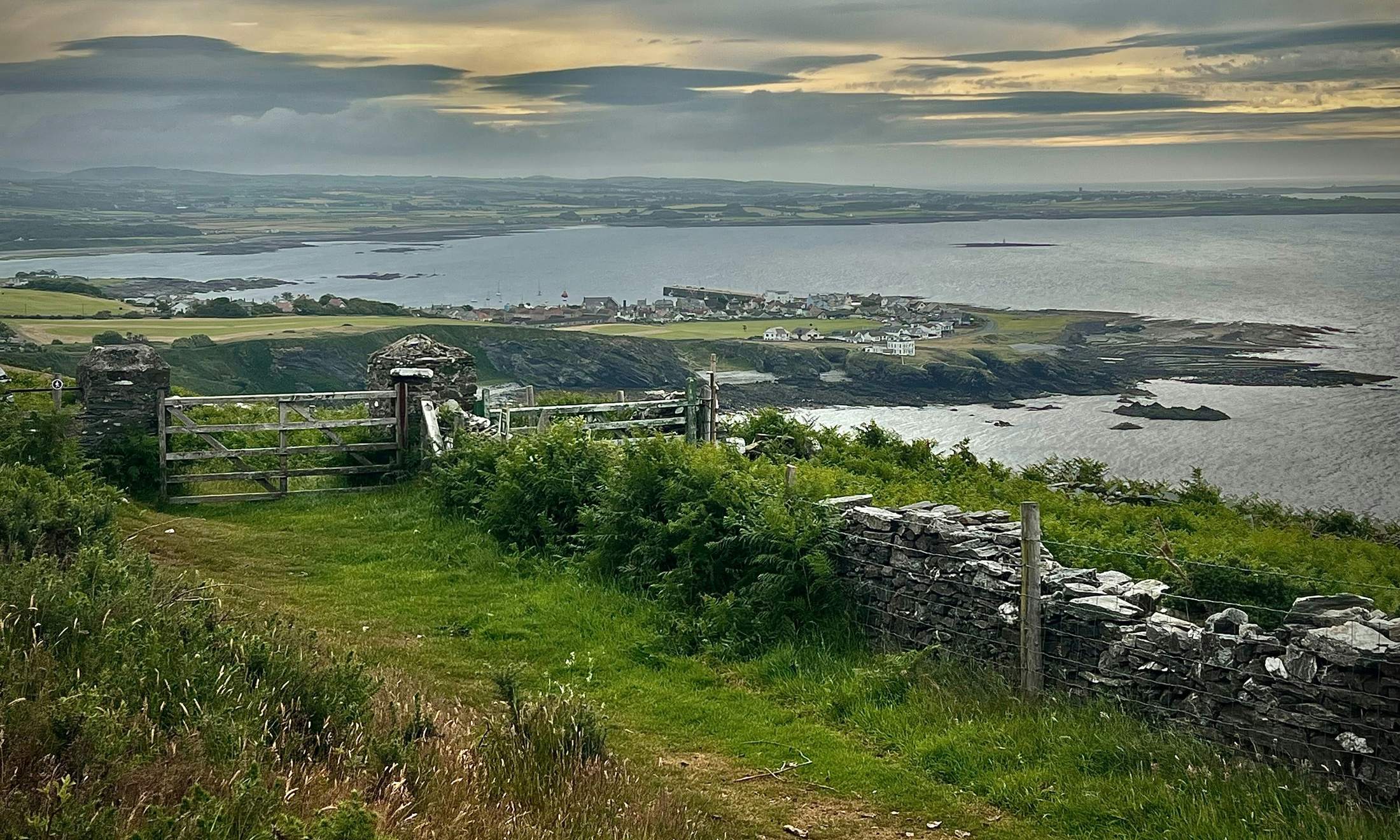
Two riders were hurt riding too fast on Ballannette Nature Reserve, owned by Stewart Clague Services, and claimed on SCS's insurance. Riders can no longer cross Ballannette to the coastal path that links through to Clay Head Road.

Most rides are organised in chat groups. Nobody can say afterwards who rode, which way they went, or what anyone agreed to before setting off.
“Our rides are sorted in a WhatsApp group. If someone came off, nobody could tell you who was actually there that morning.”
A ride in the app already has a named leader, a route, a start time, a group limit and an end. Joining it is the natural moment to agree to the landowner's terms, and the ride's window is a natural limit for cover.
On the website they mark the line riders must keep to, and set the days and hours it's open, the group size and their own conditions. They can close it on any day.
To buildThe route is drawn in the app and snapped to tracks. It carries distance, climbing, difficulty, a rider limit and an automatic end time.
In the appNo agreement, no place on the ride. We keep who agreed, when, and to which version of the terms.
To buildAccident and liability cover runs for the ride's window, with the landowner indemnified so their own policy is never called on.
With youRiders check in at the start and share their location during the ride, from their phone or a Garmin. The leader can see who is on the way and who has arrived.
In the appThe ride ends on time, the track closes and cover stops. If something went wrong, the rider reports it from the ride, with its route and timings attached.
To buildThis is our starting point, not a fixed model. We want to find the shape that works for riders, landowners and you, and we expect it to change once you've looked at it.
One membership covers every group ride a rider joins through the app. Cover runs from when the track opens to when the ride ends, and only then.
For riders who want more, a higher level would carry cover outside the ride's window: the ride to the start and home, and riding on their own.
These are the current screens of the app, followed by the ones we would add for land access, cover and rider profiles. The rides and names are examples.
New places to ride, and one membership that covers every group ride they join, with nothing to arrange ride by ride.
Their own terms agreed by every rider, a set window, a named leader, a list of who was on their land, and no exposure on their own policy. They can close the track on any day.
Short, well-defined risks: a known person on a known route for a few hours, in a group with a leader. Every policy arrives with its route, timings and group size. And a way in to the island's riders through the app they already use.
| Field | What it tells you | Example | Status |
|---|---|---|---|
| Rider | A named account with a confirmed email address or Apple ID | Voirrey Quayle | In the app |
| Leader | Who organised the ride and is responsible for the group | Juan Kermode | In the app |
| Route | The planned line, its distance and climbing | 42 km, 780 m up | In the app |
| Difficulty | Set by the leader, from easy to expert | Moderate | In the app |
| Group size | The rider limit and how many joined | 12 of 20 | In the app |
| Window | Start time and automatic end | 09:00, ends 13:30 | In the app |
| On the day | Check-in at the start and live location during the ride | 11 checked in | In the app |
| Land and terms | Which private sections the route crosses, and the version of terms each rider agreed to | Sky Hill farm track, v3 | To build |
| Incident | A report from the rider or leader, with the ride's route and timings attached | None | To build |
Every ride a member joins adds to their profile in the app. Over time it shows how much someone rides, how hard, whether they turn up, whether they lead, and whether anything has gone wrong. Cover can then be priced on how people actually ride.
Riders see their own record and choose whether to share it. What is shared, and whether individually or in aggregate, is something we would agree with you.
RD, with GRVL and MNTN, is run by riders and software people on the island. Landowners will only open their land if the cover is real and comes from someone they recognise. That is what we're asking for.
Personal accident and third-party liability for riders, sold as a membership. We have a starting shape; we need you to make it work and price it.
Wording that indemnifies the landowner for rides booked through the app, so their own farm or estate policy is never touched.
Help shaping a standard land-use agreement: access hours, the line to keep to, group size, livestock, gates and closures.
A simple path from the in-app incident report to your claims team, and the right regulatory arrangement for offering cover inside the app.
The rides, names and screens marked proposed are examples to show the idea. They don't describe any existing land agreement or insurance policy.
Crafted at 